Mission

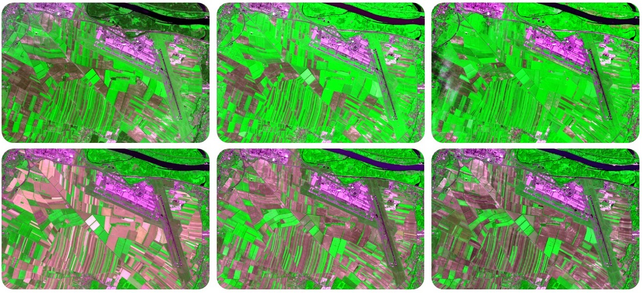
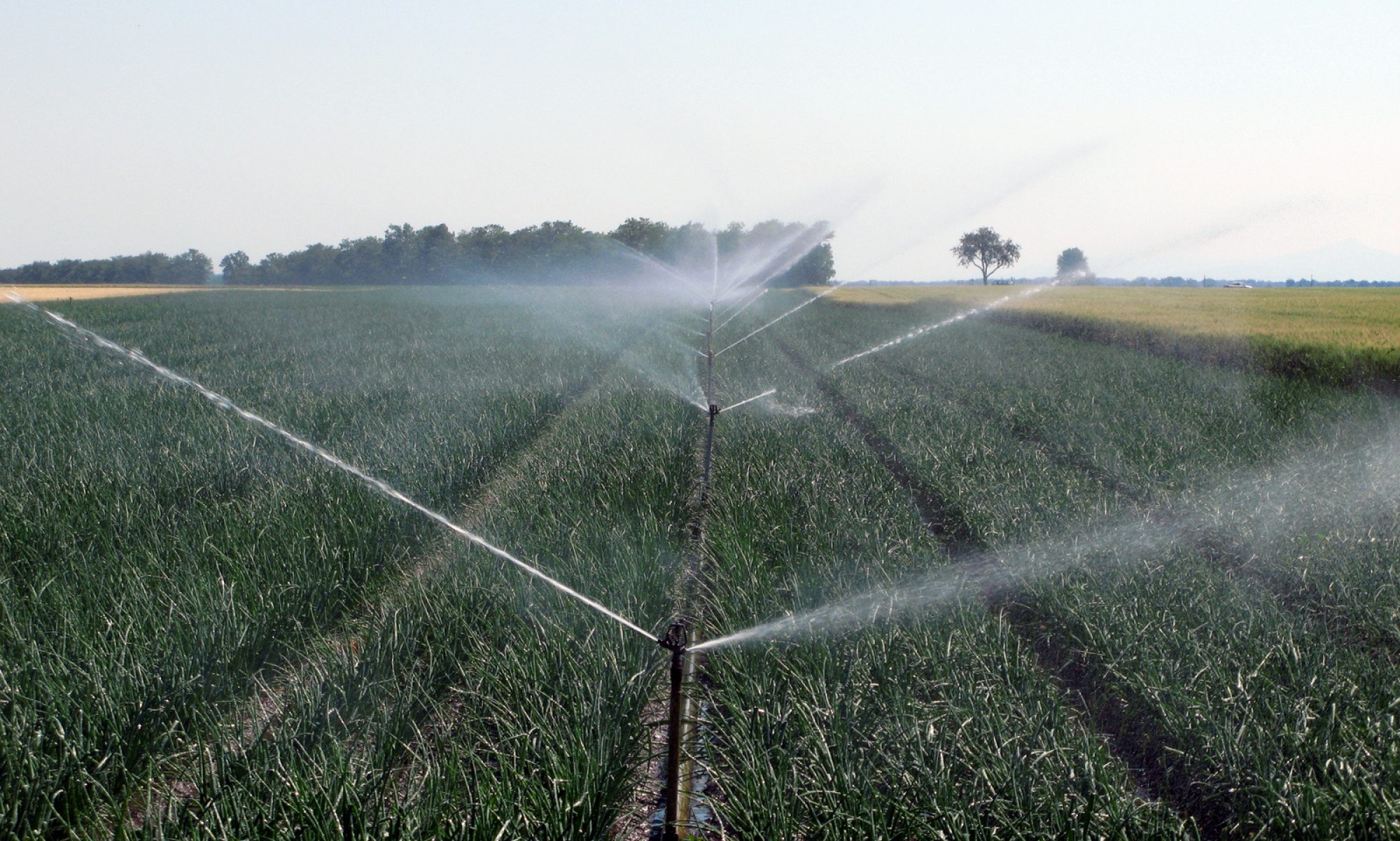
Smart farming: we help farmers to optimize water and fertilizer inputs

What do we do ? We transform complex data into information so that you get always the most recent color images and maps for your fields

Why do we do it ? Because we like technologies and believe that they can help to achieve a more productive and sustainable agricultural production

How do we do it? We use high spatial resolution satellite images from Sentinel-2, agro-meteorological data and a suite of models that consider soil, plants and your crop management

Who are our customers? We work for small scale farmers, for the agro-industry and for machinery manufacturers in need of new solutions. We also provide customized analytics to support your decision making process. Our intelligence is based on satellite data

Growing conditions

We make use of the most advanced satellite technologies to follow the evolution of your crop growing conditions over time. This tells us about the water and fertilizer needs for every pixel of your fields

Continue reading “Growing conditions”

Weather

We use data from weather forecast models to provide you always with the latest information on essential weather parameter such as air temperature, humidity, wind speed, solar radiation and precipitation for your location. We can also plug in data from your local weather station

Water and nitrogen management

We work with satellite data, in field and with farmers. Our research is transferred to application as soon as results are consolidated, accurate and reliable.

Operational services are: 

  • Crop growing conditions monitoring
  • Water requirements for irrigation management

Experimental activities are:

  • Nitrogen fertilizer monitoring for wheat (expected in 2018)
  • Yield forecasting and performance indicators

Get involved in our experimental activities and be the first to try our products!